Hi Cassidy, much like how satellites are used to track vegeetation phenology, every drone flight is a time slice that can capture specific information about temporally progressing life-history events/processes in plants. Unlike satellites, drones can provide individual level information like if certain individuals or species are in bloom (there are several palms in bloom in this picture) or even provide information about animals (if one was interested ins studying their reproductive phenology for instance). Drones give you the flexibility to fly once a year, or every day – depends on the operator’s needs and objectives. While the specifics of projects in Congo will be up to JGI now that they have the basics down for how to operate their unit, using drones for phenological research is something on the minds of many and already being implemented in some locations, like Greenland.
Jeff

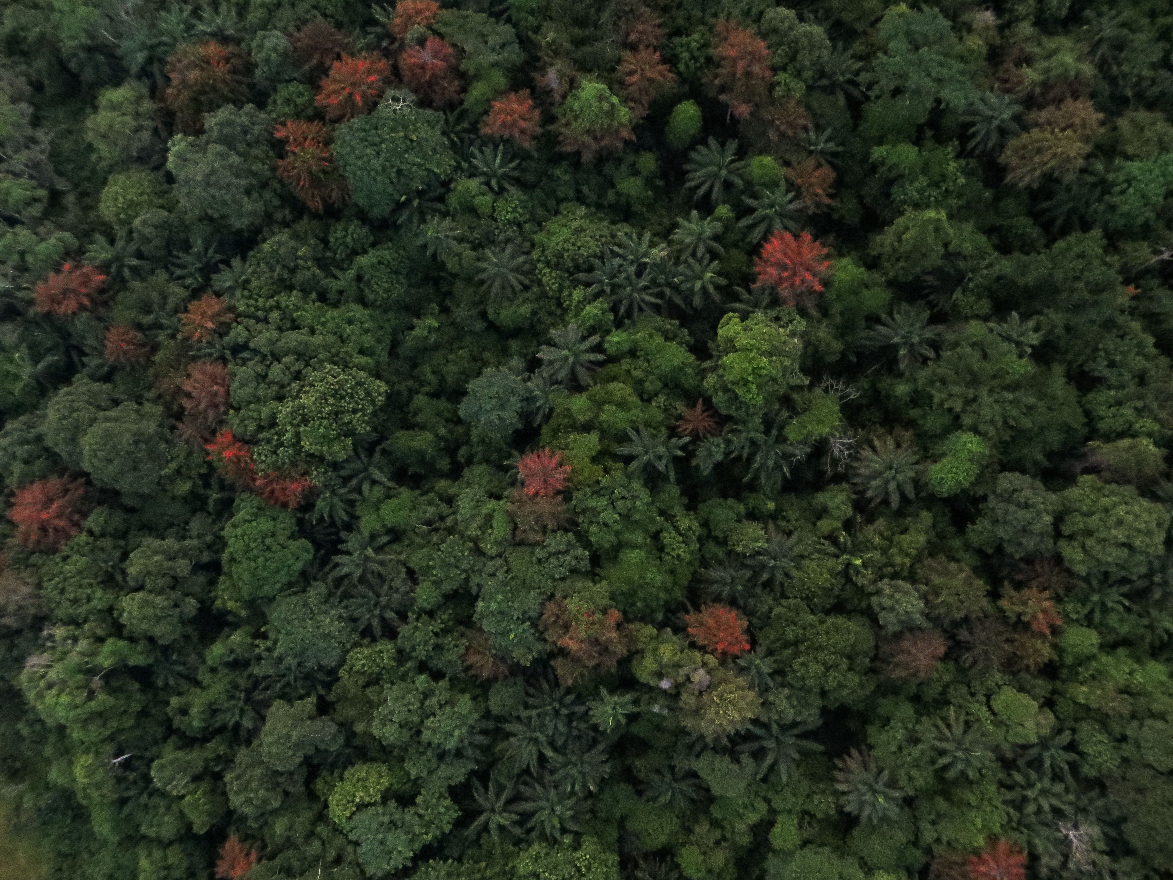
Phenology is a temporal phenomenon, how are you guys tracking phenology with drones unless you are flying weekly?
Hi Cassidy, much like how satellites are used to track vegeetation phenology, every drone flight is a time slice that can capture specific information about temporally progressing life-history events/processes in plants. Unlike satellites, drones can provide individual level information like if certain individuals or species are in bloom (there are several palms in bloom in this picture) or even provide information about animals (if one was interested ins studying their reproductive phenology for instance). Drones give you the flexibility to fly once a year, or every day – depends on the operator’s needs and objectives. While the specifics of projects in Congo will be up to JGI now that they have the basics down for how to operate their unit, using drones for phenological research is something on the minds of many and already being implemented in some locations, like Greenland.
Jeff